References
That would be the third more important element on the software, after vertical lines and geometry.
References allow us to relate the panoramas and to locate them in 3d space
Basically they are visual elements on the ground that are visible from different panos.
As said references will always be defined in the ground level

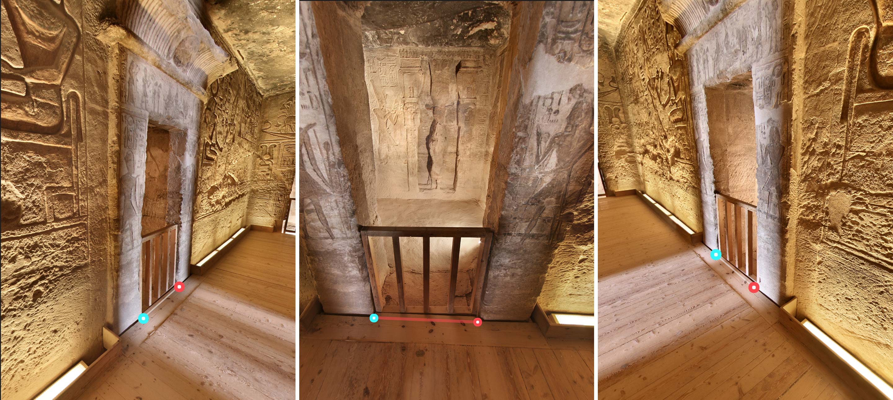
As you can see in the image above, we have located an area of the pano which is clearly visible from the 3 images. There would be other possible parts, but that was the one most obvious.
Main reference
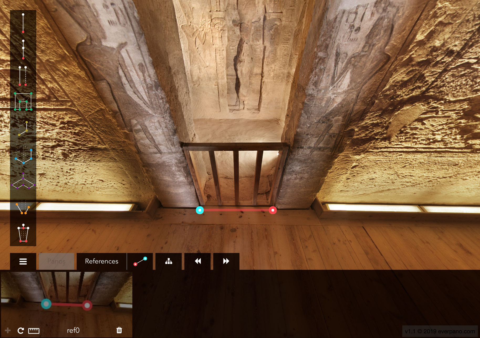
We need to create a main reference, we will normally select the pano which has that area more close, in that case it was very clear, in some others may be a bit more unclear which pano should contain the main reference.

Once the reference is created, the app automatically goes to the references tab and select the reference that we just created. From here we can name it accordingly to our needs, or you can just leave the automatic naming. You can also check it's length, you can delete it, and if you were in another panorama you could just quickly navigate to that pano and to the reference location. Also once you are in another panorama different than the mother pano, you can create a sub reference.
Sub references
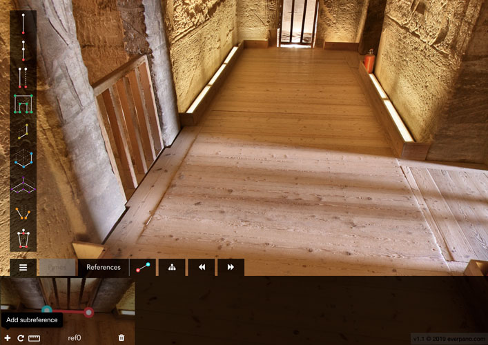
Once we have created a main reference, you should navigate to another panorama, in order to locate the same 2 points with the same order and click on add sub reference, and then with a couple of clicks you will define the new sub reference and locate both panos in a global 3d space.

You can add until 6 subreferences to each reference, that should be enough to make the job properly.
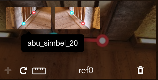
The subreferences can also be dragged so you can order them, can be deleted, and can be clicked what would load the panorama having the subreference with the correct point of view.


