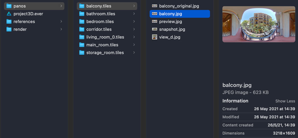
Project structure for >= 1.3.0
New structure for the projects
Main changes:
0.- TIF & JPG files suported
1.- Panos are kept in the original folder (no duplicating the file to avoid large project folders)
2.- File names are kept with a cleaning when necessary (no id names)
3.- New nadir view image for fitting the model

In the previous versions the app was making a copy for every panorama used for the project. That was generating large project an unnecessary files.
Additionally the name of the pano was replaced by a unique id, sometimes generating a confusion on the panorama naming. Now the names are kept as the original ones, even there's a name cleaning for consistency issues.
From this version the app is making some initital processing on the panoramas aligning them to fit the everpano cordinate system.
During that process some extra files are being generated like a smaller version of the pano ( 3218*1609 px ) on one side aligned and on the other a small copy of the original pano.
That allow mainly a couple of new topics, keep the project folder smaller, the possibility to use also TIF files as source, and obiously the fact of having the panormas correctly fitting the everpano coordinate system and therefore being able to directly draw orthogonal lines.
Note:
Because of this file structure, and some other structural topics projects from previous versions can not be used

